GPS & CMap Projects
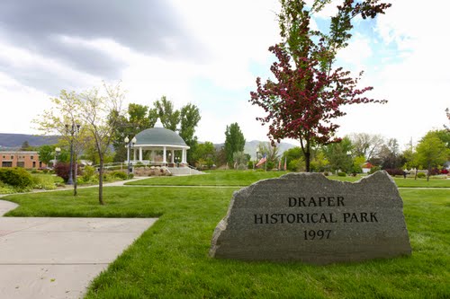
CMap Project--Mapping Historical Draper
|
My CMap project involves third graders taking GPS waypoints of historical places in Draper Ctiy. Using this data students could then create a map so tourists can find the historical places. Click on the photo for my project file.
|
|
Little Cottonwood Quality Water Project
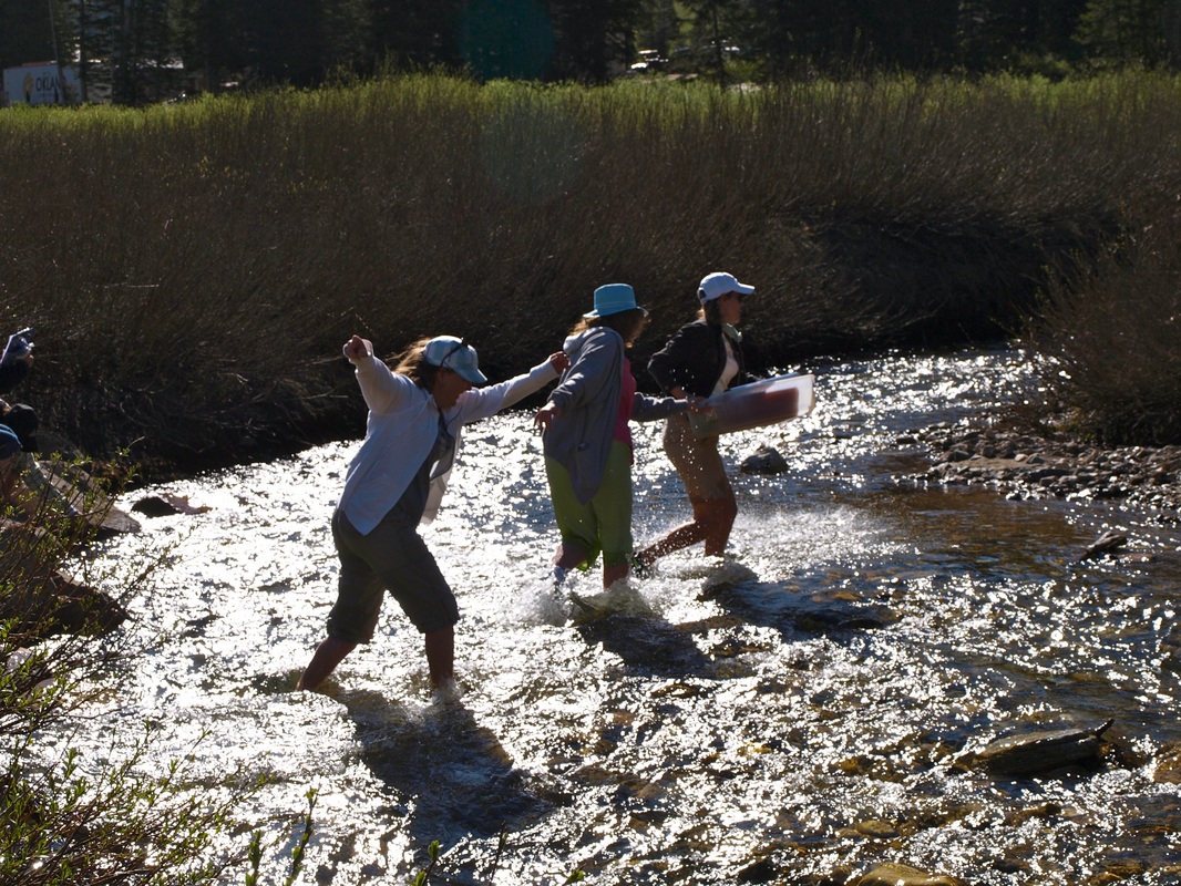
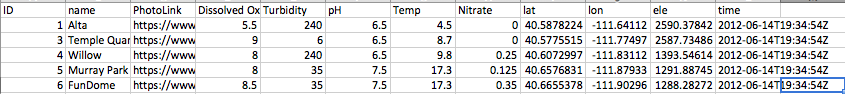
As part of my USING COMMUNITY MAPPING TO ENGAGE STUDENTS IN EXPLORING REAL-WORLD ISSUES AND SOLVING AUTHENTIC PROBLEMS technology class, we took the skills learned throughout the week on how to use GPS technology and mapping technology and combined it all in an actual real-world issue--the quality of our water. We first took data (see below) at five different locations on the Little Cottonwood stream. The GPS information was then downloaded into Garmin Base Camp and then exported as a CSV file. Using Excel, I opened this CSV file, cleaned it up, and entered other data fields. Dropping this file in Drop Box, I was able to add layers to a new map in ArcGIS to create the finished map. Here's a direct link to my completed map or check it out on the right. I love the ArcGis site because you can change the layers depending on what data you wish to see. I've included a few samples of different maps you can create using the data I've entered. Technology has taken mapping to a whole new level. To conclude, I'm quite proud of myself to be able to take raw data and turn it into a functioning map using technological tools. This has been one of the most fun, not to mention meaningful, courses so far!
|
|
CSV data file
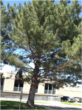
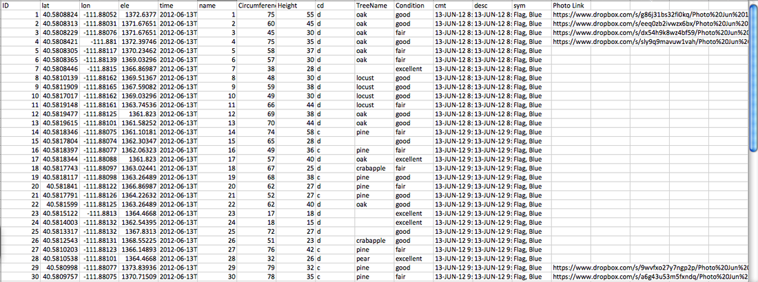
CSD Tree Mapping Activity
|
As part of my technology endorsement, my team gathered data about trees around CSD's Auxiliary Building. Below is the data spreadsheet I used to create my map. Using GPS, Basecamp, ArcGIS, I was able to create a map of the gathered collection. I'm pretty excited about these new skills!.
|
|
Earth Cache Activity using GPS
What a fun way to use GPS! Here's my responses to our scavenger hunt.
| canyons_earthcache_fun.doc |
